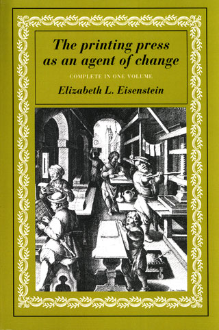
Elizabeth L. Eisenstein: The Printing Press as an Agent of Change: Communications and Cultural Transformations in Early-Modern Europe (1979)
Filed under book | Tags: · advertising, antiquity, book, cartography, catalogue, censorship, history of science, image, library, literacy, mathematics, media history, memory, philology, print, propaganda, religion, renaissance

“A key text to understand the role of print on social change and the arts. Professor Eisenstein begins by examining the general implications of the shift from script to print, and goes on to examine its part in three of the major movements of early modern times – the Renaissance, the Reformation, and the rise of modern science. Her masterful and well researched text sets a standard for understanding the social impact of printing.”
Publisher Cambridge University Press, 1979
11th printing, 2005
ISBN 052129951, 9780521299558
794 pages
HT Didgebaba
Reviews: Carolyn Marvin (Technology and Culture, 1979), Anthony T. Grafton (Journal of Interdisciplinary History, 1980), Eric J. Freeman (Medical History, 1981), Eric J. Leed (American Journal of Sociology, 1982), Richard Teichgraeber (History of European Ideas, 1984).
PDF (2 vols., 16 MB, updated on 2022-1-30)
EPUB (2nd ed., 2012, added on 2022-1-30)
See also the collection Agent of Change: Print Culture Studies after Elizabeth L. Eisenstein (2007).
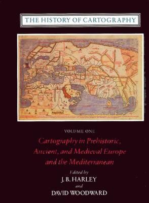
Comment (0)J. B. Harley, David Woodward (eds.): The History of Cartography (1987–)
Filed under book | Tags: · cartography, data visualisation, history, mapping

The monumental History of Cartography is an unprecedented survey of the development of cartography both as a science and an art. This essential reference presents the enormous value of maps to societies worldwide and explores the many ways they have been used to depict the earth, sky, and cosmos from ancient times to the present. The series is both a work of reference (comprehensive in coverage and rich in bibliographies, illustrations and other reader aids) and of scholarly interpretation (authoritative, factually up-to-date, revisionist and espousing deliberately broad terms of reference).
Volume 1 (1987): Cartography in Prehistoric, Ancient, and Medieval Europe and the Mediterranean.
Volume 2, Book 1 (1992): Cartography in the Traditional Islamic and South Asian Societies.
Volume 2, Book 2 (1994): Cartography in the Traditional East and Southeast Asian Societies.
Volume 2, Book 3 (1998): Cartography in the Traditional African, American, Arctic, Australian, and Pacific Societies.
Volume 3 (2007): Cartography in the European Renaissance [In two books].
Volume 4 (forthcoming, edited by Matthew Edney and Mary S. Pedley): Cartography in the European Enlightenment.
Volume 5 (forthcoming, edited by Roger Kain): Cartography in the Nineteenth Century.
Volume 6 (forthcoming, edited by Mark Monmonier): Cartography in the Twentieth Century.
Publisher University of Chicago Press, 1987-
Open Access
c5000 pages
The History of Cartography Project
Download Volumes 1-3 (PDF chapters, from the publisher)
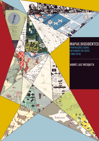
Comment (0)André Luiz Mesquita: Mapas dissidentes: proposições sobre um mundo em crise, 1960-2010 (2013) [BR-Portuguese]
Filed under thesis | Tags: · activism, art history, cartography, data visualisation, mapping

“Esta tese é uma investigação sobre um conjunto de mapas e diagramas produzidos por artistas e ativistas entre as décadas de 1960 e 2010, a partir de diferentes contextos de transformação social, política e econômica em momentos de crise, de conflito e de formas potenciais de resistência. Através de documentos como catálogos, manifestos, artigos, fotografias, documentários, obras de arte, reproduções de mapas e entrevistas, a pesquisa realiza uma análise sobre esse conjunto de mapeamentos desenvolvidos por três gerações de artistas.
No primeiro capítulo, este trabalho examina os jogos e mapas realizados nos anos 1960 e 1970 pelo sueco-brasileiro Öyvind Fahlström (1928-1976) durante as tensões geopolíticas da Guerra Fria (1947-1991) e as mudanças estruturais e organizacionais do capitalismo global na década de 1970. No segundo capítulo, a tese discute a obra do norte-americano Mark Lombardi (1951- 2000), artista que, durante a década de 1990, procurou mapear com suas estruturas narrativas redes internacionais de poder e transações financeiras obscuras envolvendo bancos, governos e elites dominantes da sociedade neoliberal. O terceiro capítulo trata das práticas de contracartografia conduzidas entre os anos 1990 e 2010 pelos coletivos de arte ativista Bureau dÉtudes (França), Counter-Cartographies Collective (Estados Unidos) e Iconoclasistas (Argentina).
Com base nas articulações entre arte contemporânea, ativismo político e cartografia crítica, a tese considera que os mapeamentos realizados por esses artistas-ativistas trazem experiências importantes de produção de conhecimento e contribuem para a visualização das relações de poder no mundo contemporâneo, opondo-se também aos mapas supostamente imparciais, objetivos e naturalizantes do mundo guiados por interesses corporativos, militares e governamentais.”
Ph.D. thesis
Faculdade de Filosofia, Letras e Ciências Humanas, Universidade de São Paulo
284 pages
PDF (53 MB)
Comment (0)
